Map tips: each color represents a different day. Click a marker to learn more about the spot, and click the star in the map header to save the entire map under Your Places in Google Maps.
Day 1: Mono Lake and getting to Yosemite
- Mono Lake
- Tenaya Lake
- Olmsted Point
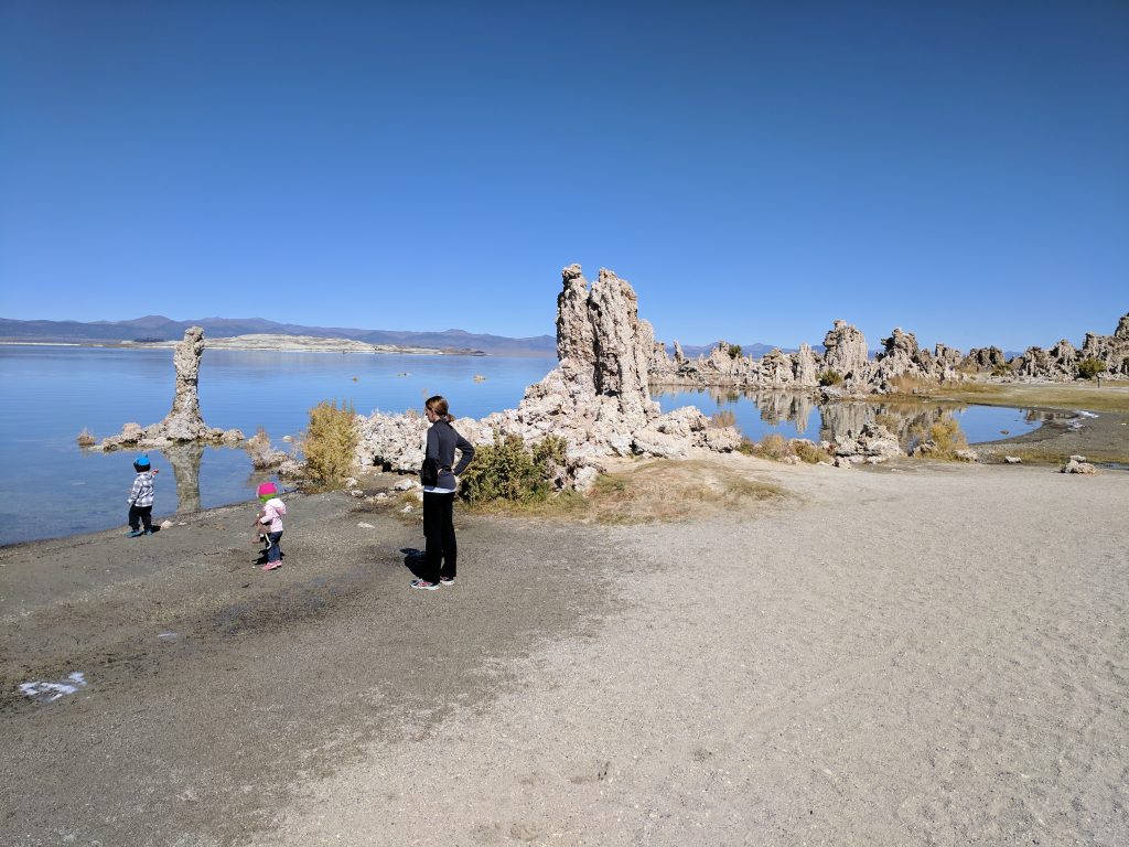
We had arrived in Reno the day prior and visited with family. Today we drove to Mono Lake (3 hours from Reno), went to the South Tufa area where the rocks/tufas are. Very unique place, never really seen rocks like that just sticking up out of the water and on the shore.
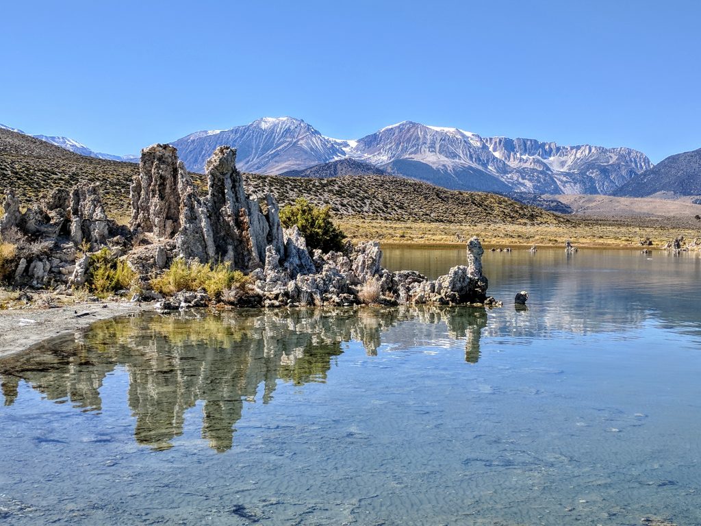
Had a picnic lunch as there are tables right by the parking lot. Costs $3 per person to walk around the area, on the honor system, and definitely worth it. About 15 out of the way (one-way) if going to Yosemite. We ended up spending 2 hours there walking around and eating.
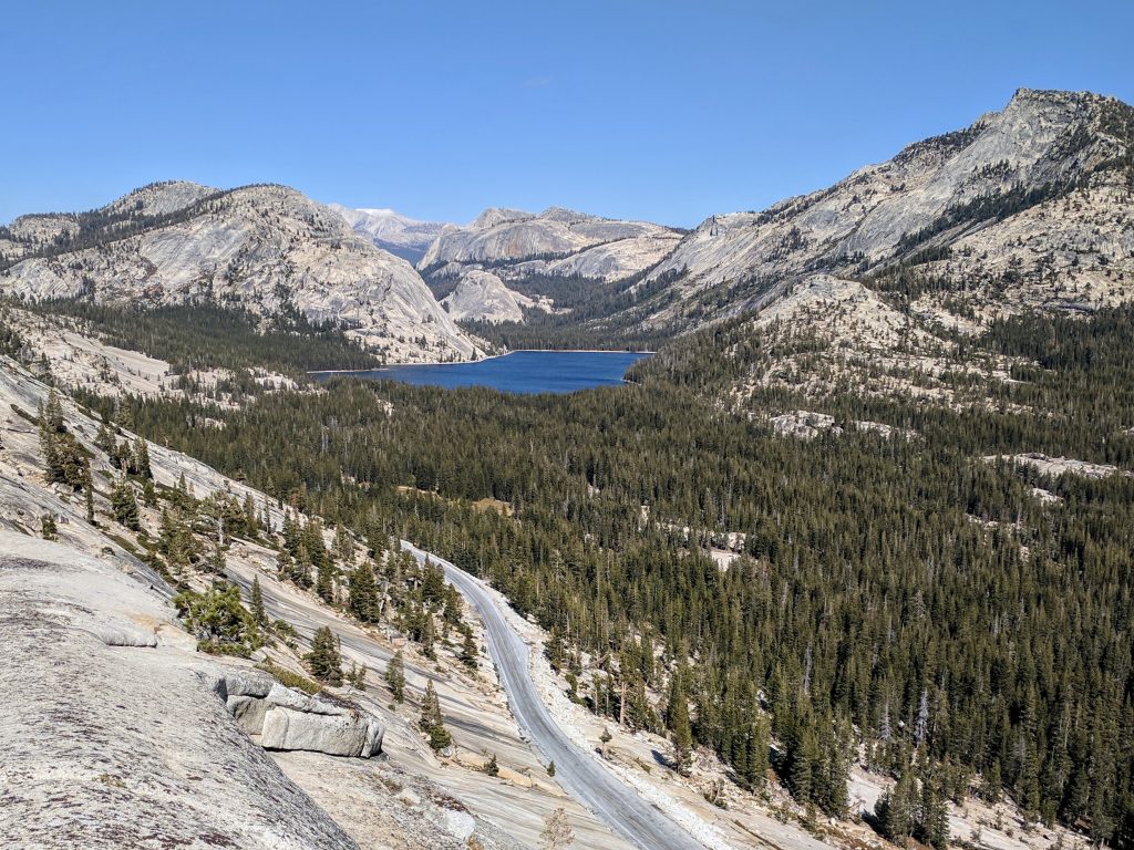
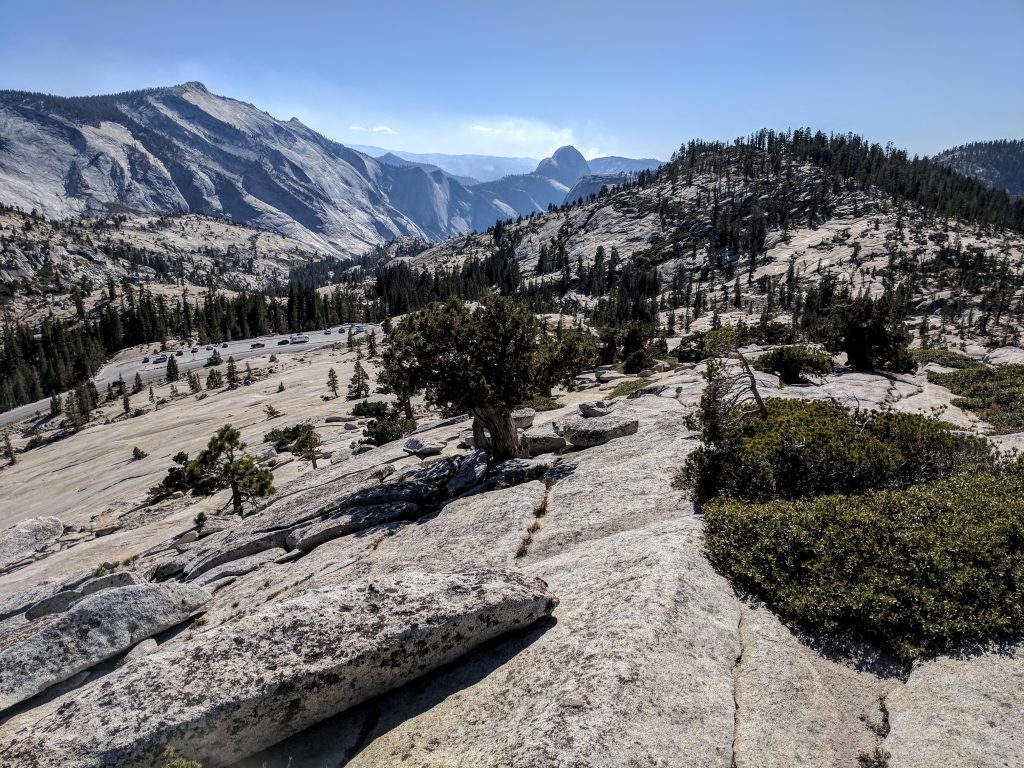
Took route 120 (Tioga Road) over Tioga Pass and into Yosemite National Park. This is a very long drive, another 2 hours to get to the valley floor. Stopped for pictures at Tenaya Lake and Olmsted Point – I wouldn’t say either are must-sees but they’re pretty nice.
Checked into an apartment in Yosemite West that we got through Scenic Wonders. Great area to stay, less than 30 mins from valley floor/main attractions and much cheaper than staying in the middle of things. I’d say it’s the most affordable close option and we would stay in the same place again.
Day 2: Mist to John Muir Trail
- Vernal Fall
- Nevada Fall
- Tunnel View
View our Hike Guide for an in-depth look at the Mist Trail here
Drove into the valley and stopped at Tunnel View for a picture – it was before 8 AM so it was barely light out. Pretty cool shot but couldn’t really see much. Parked at Half Dome Village and took the free shuttle bus to the Happy Isles stop – this is where the Mist Trail starts and there is no parking there. It’s about a mile from Half Dome Village, and there is a small trailhead parking lot, but that is still a half mile from the actual trailhead. Save yourself 1-2 miles extra of walking and take the shuttle. Took the Mist Trail up to Vernal Fall then Nevada Fall and came down the John Muir Trail.
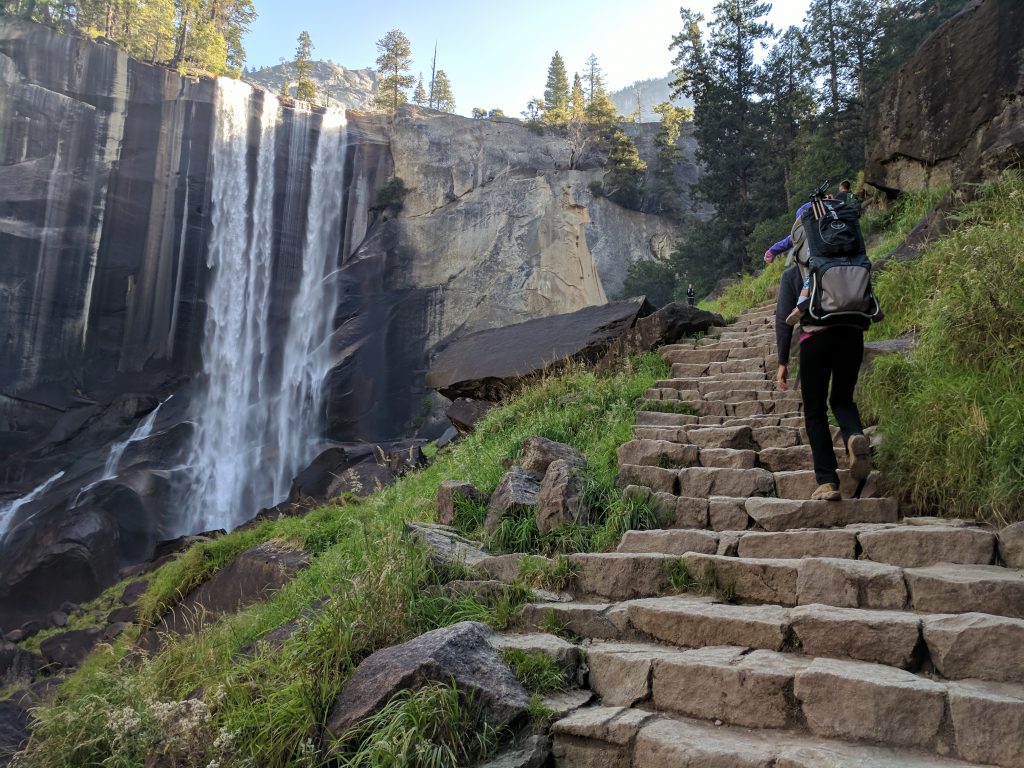
Highly recommend this route, about 7 miles total. The view of Nevada Fall and Liberty Cap from the Muir Trail portion is amazing – one of the things I was looking forward to the most in Yosemite and that picture now hangs in our hallway.
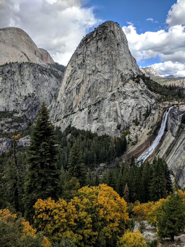
We knew Yosemite Falls and Bridalveil Fall would be a trickle/non-existent in October but Vernal and Nevada still had some pretty good flow. Went to the Village Grill for some food – big mistake. They only have like 6 things on the menu (not as expensive as one would think though), and we had to wait for 3 shuttles to go by before we could get standing room on one to take us back to Half Dome Village. Waste of time. Can’t imagine how swamped Yosemite is during peak season. On the way back, we stopped at Tunnel View again, better view but it had started clouding over and was raining faintly at times.
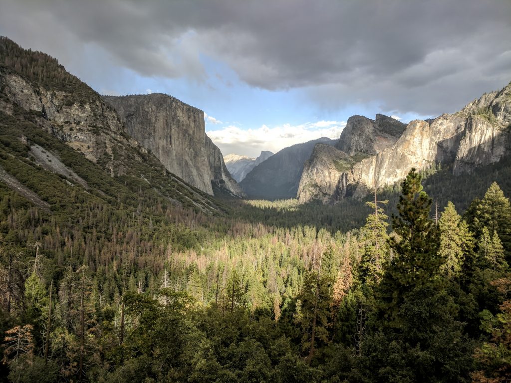
Day 3: Glacier Point Road and back to Reno
- Sentinel Dome
- Glacier Point
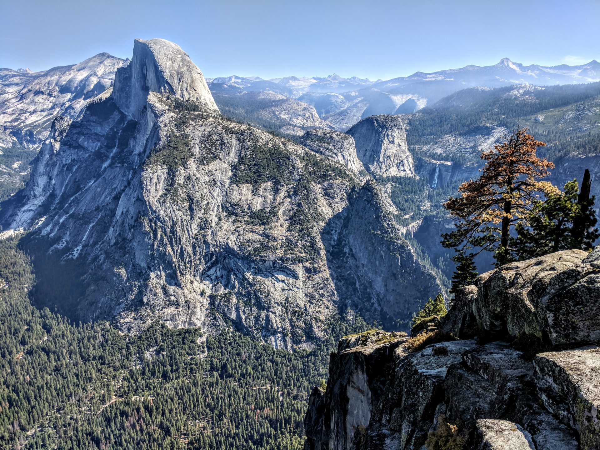
We had considered doing Glacier Point the evening before but since it was cloudy and rainy we opted to do it this morning. We were concerned about the lighting not being great (read that Glacier Point and Tunnel View is best in afternoon/evening) so we weren’t in a rush and did Sentinel Dome first thing. The drive to Glacier Point is 16 miles from the main road and it dead ends at Glacier Point. It took us about 25-30 minutes each way. The parking lot for Sentinel Dome is a few miles before Glacier Point and while we got one of the last spots around 10 AM, it was packed and there were cars parked along the road for a very long when we got back. Sentinel Dome is about 2 miles roundtrip and absolutely worth it. Panoramic views of pretty much everything.
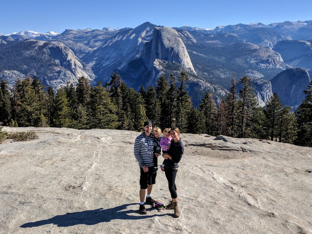
Headed to Glacier Point, had to wait for a parking spot but again absolutely worth it.
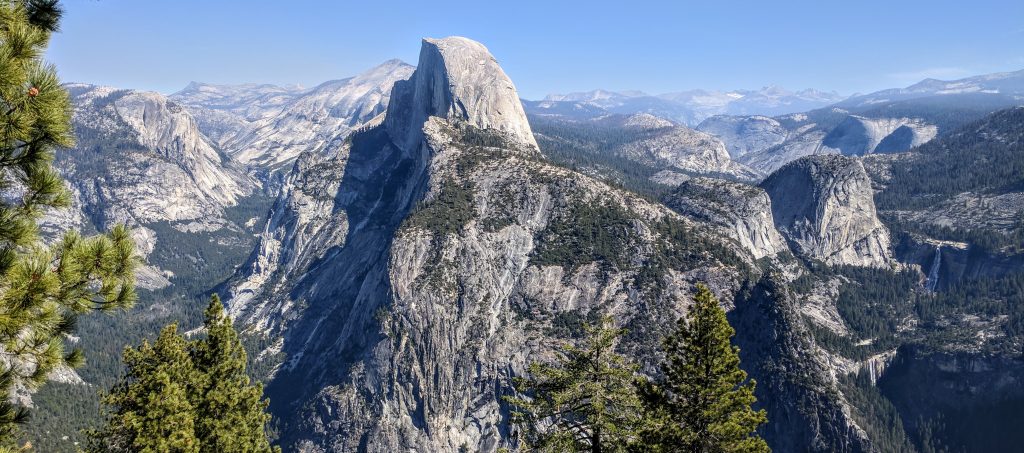
Wanted to get a picture on the overhanging rock that is just to the left of the main viewing area, but maybe next time. Too difficult with 2 1-year olds. You only need maybe a half hour here, but could spend a long time just admiring the view. Made the 5.5 hour drive back to Reno.
Day 4: Commons Beach, Lake Tahoe
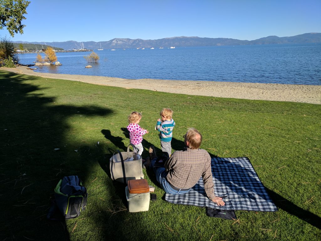
Let the kids play and have a normal morning/afternoon nap then took the Mount Rose highway up and over the mountains to Lake Tahoe. Drove around the north side of the lake and got out at Commons Beach – not very well marked but a great place for families as there is a playground and grassy area right on the shore. Let the kids run around and had some snacks. Seems like a local “secret.” Drove to Truckee for dinner (Mellow Fellow – good stuff) and back to Reno.
Day 5: South Lake Tahoe
- Eagle Lake
- Emerald Bay State Park
Drove back to Lake Tahoe, this time to the southern part (1 hr 15 mins from Reno). Parked at the Eagle Falls trailhead – there is not much parking and we had to turn around multiple times and wait for a spot to open up. $5 to park, again on the honor system. 2 miles roundtrip to Eagle Lake – it was a really nice hike and the lake is beautiful.
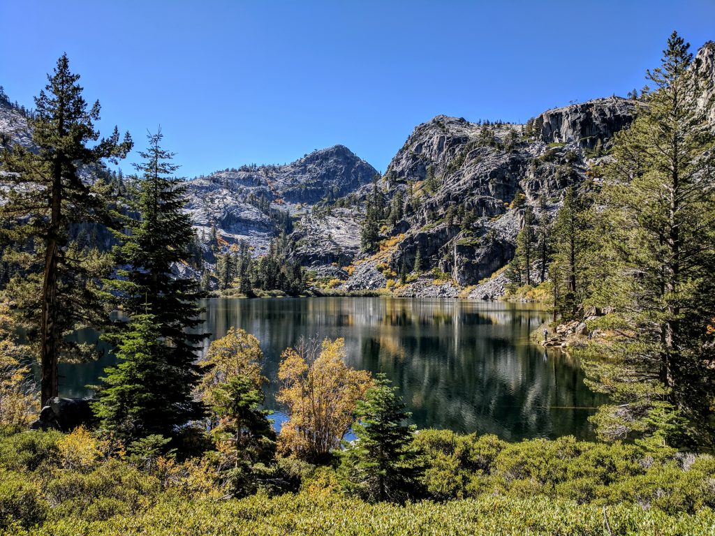
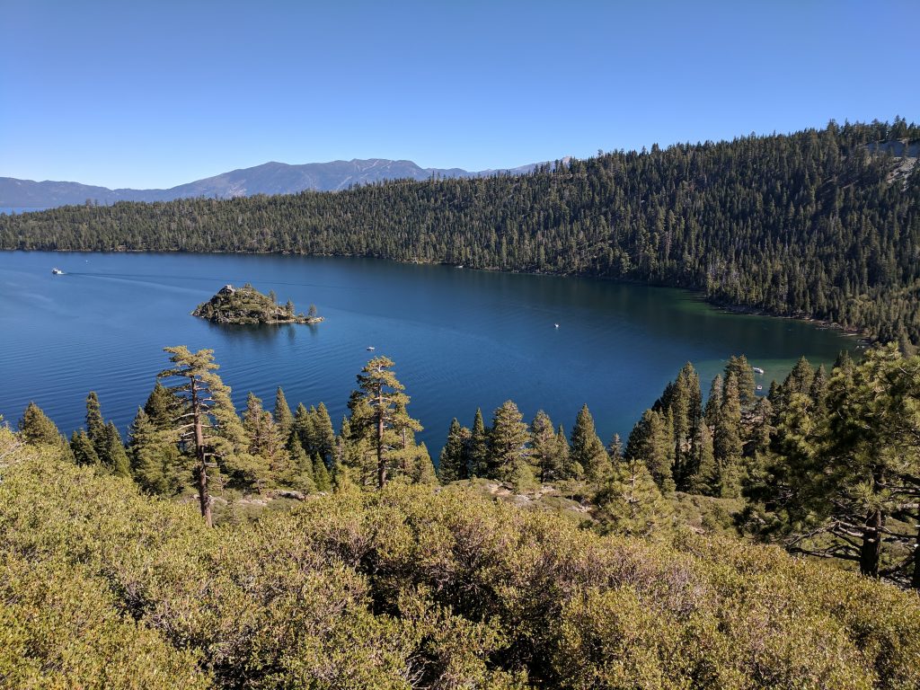
It is in the Desolation Wilderness so you have to have a permit on you, which you fill out at the trailhead. Left our car in that lot and walked up the road to the Vikingsholm parking lot and took that trail down to Emerald Bay. Walked around, let the kids play by the water for a bit then headed back to Reno. Very enjoyable day. Flew home early the next morning.
Final thoughts
We knew we weren’t going to get to see a whole lot in Yosemite, and having Mariposa Grove closed (restoration) and some of the main waterfalls pretty much nonexistent made it easier to figure out how to spend our limited time. I think Cook’s Meadow and some of the other longer hikes would be great to do in peak season (especially Half Dome – on my bucket list). Lake Tahoe is one of my favorite places on earth and I highly recommend it for any season. Great hiking in the summer, amazing snowboarding in the winter. Truckee is on the short list of places we’d have a vacation house if we were filthy rich.
Year traveled: October 2017

Leave a reply