If you take away nothing else from this page: please follow the 7 principles of Leave No Trace whenever hiking (and all the time, actually – most are pretty good general life tips, too):
- Plan ahead and prepare
- Travel and camp on durable surfaces
- Dispose of waste properly
- Leave what you find
- Minimize campfire impacts
- Respect wildlife
- Be considerate of other visitors
Now, on to Delta Lake. Here are the quick facts:
- Where: Grand Teton National Park, Wyoming
- More specifically, where: Lupine Meadows Trailhead – Lupine Meadows Road is just south of road to the Jenny Lake Visitor Center
- Distance and elevation: ~8 miles (12.9 km) with ~2,250 feet (685 meters) of elevation gain
- Highest point: 9,016 feet at Delta Lake
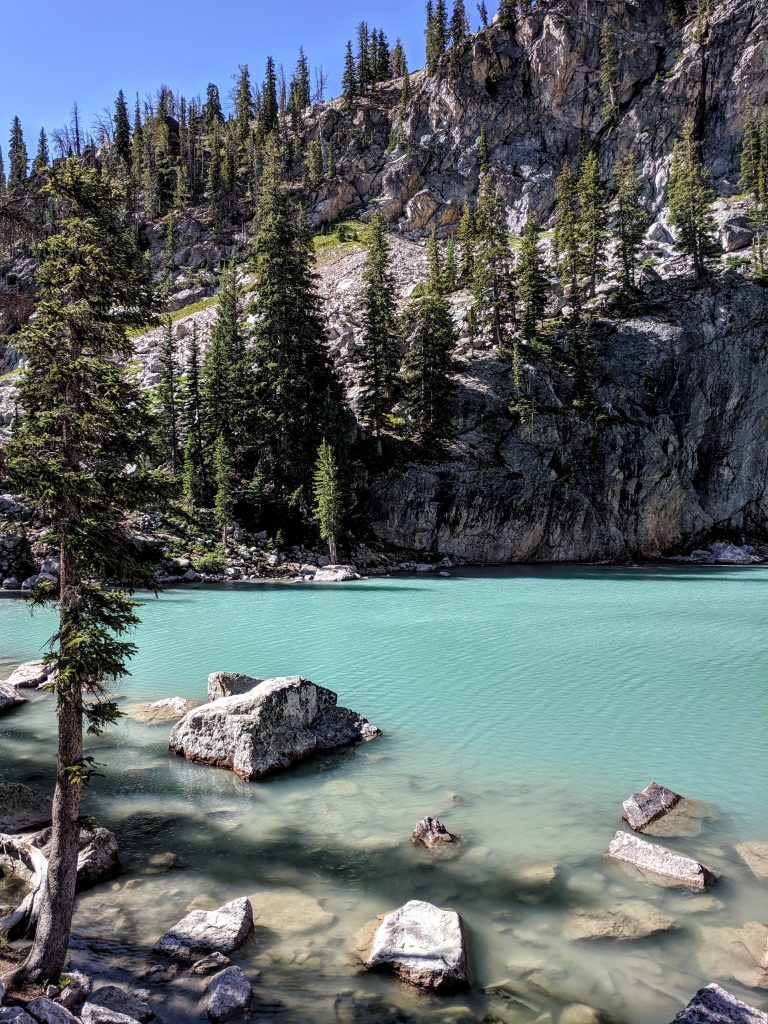
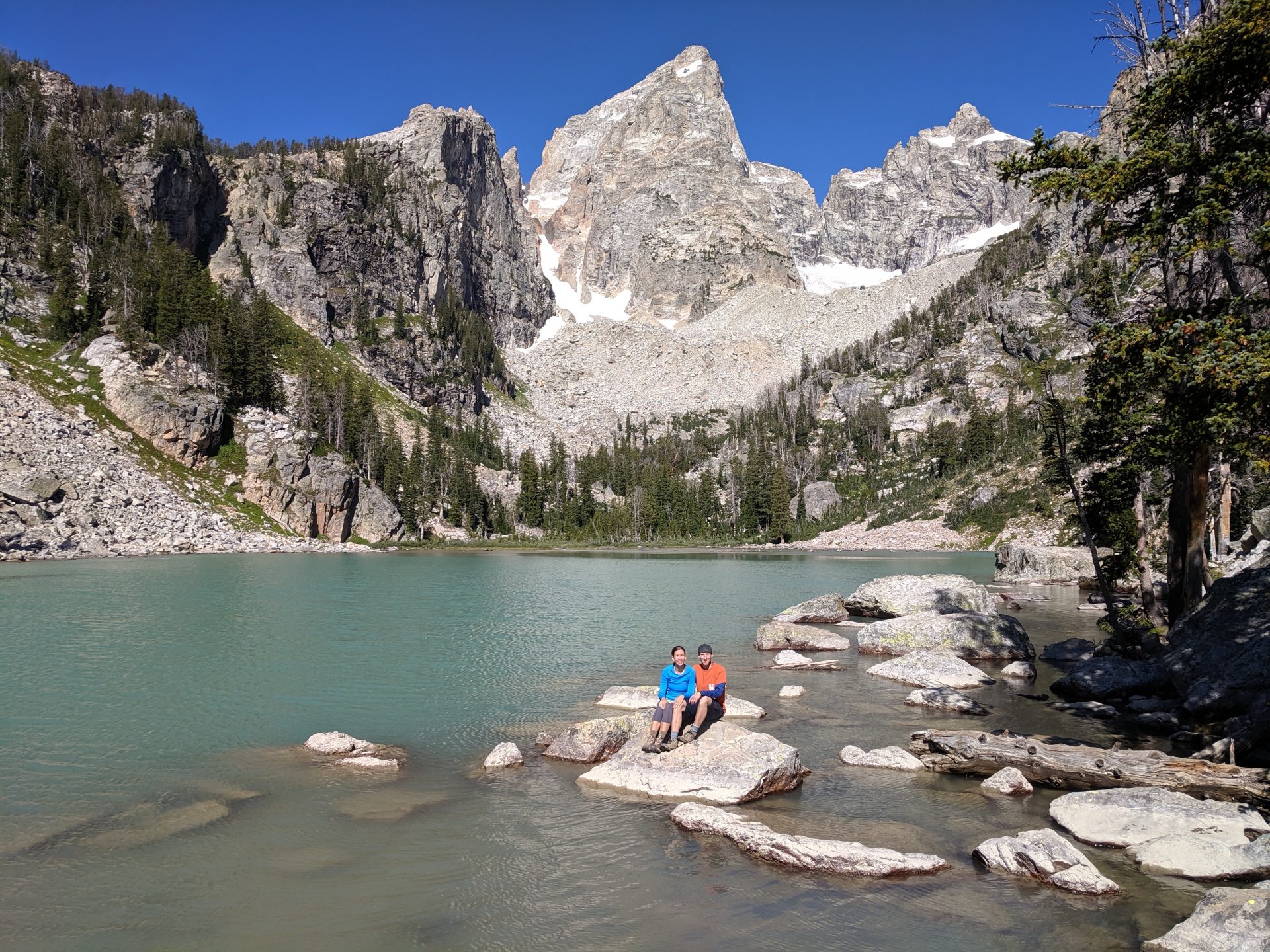
- Why you should hike this trail: at the end is a perfectly placed glacial lake right at the foot of the Grand Teton
- Fee or permit? Yes – National Park entry fee
- Best time of year: June-October.
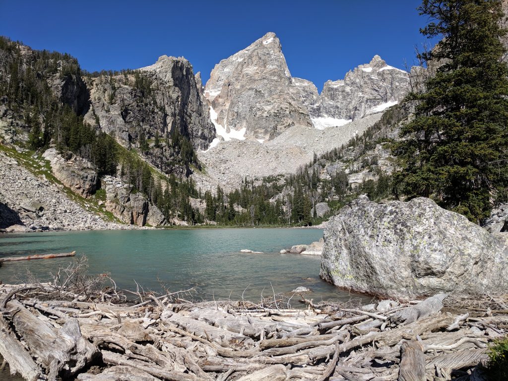
Tips
- You won’t find Delta Lake on park maps or signs – it’s officially an unmaintained trail. However, it gets a lot of traffic and is a well-established and obvious trail.
- August was a perfect time to visit Grand Teton National Park and this was one of the most pleasant hikes we’ve done. It gets so cold at night that there aren’t mosquitos and warm enough during the day for short-sleeved shirts and shorts. It will be chilly when starting early, however.
- The switchbacks may seem unnecessarily and annoyingly long.
- Make sure to count each switchback on the way up – you’ll need to divert from the trail at the 6th one.
- There are 2 boulder fields as you get close to Delta Lake. At the second one, look for the dirt trail on the left as that’s easier than climbing over the boulders.
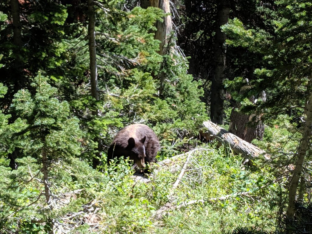
- Take bear spray – we saw multiple bears on our hike.
- View our full trip report here to see what else we did in Grand Teton and Yellowstone National Parks.
Getting there
Head to the Lupine Meadows Trailhead. Lupine Meadows Road is off Teton Park Road, the main road through the park, and just south of the pull-off for the Jenny Lake Visitor Center.
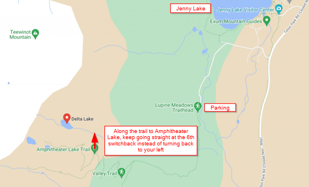
Again, you won’t find Delta Lake on any maps or signage, but that doesn’t mean the parking lot at this trailhead will be empty. It’s the official starting point for Amphitheater and Surprise Lakes and where most people start when summitting Grand Teton and other high peaks. So you’ll want to get there early – we started our hike at about 7:15 and ended up being the third couple to Delta Lake.
Trailhead to Delta Lake
The first stretch is along the well-marked and official trail to Amphitheater and Surprise Lakes – follow signs for these lakes at every junction. Almost 2 miles in is where you’ll start to gain more elevation along the dreadfully long switchbacks. Make sure you count how many times you switch directions – the first time you completely switch directions and head back the opposite way should start your count. There isn’t much of interest until you get high enough on the switchbacks for Bradley and Taggart Lakes to come into view.
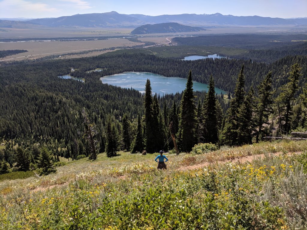
While It might be tempting to take a shortcut to eliminate part of a switchback, please stick to trail to preserve the vegetation. About 3 miles in, the branch to Delta Lake can be easily missed. Since it’s not an official trail, there is no sign. However, there are 2 things to help you know where to pick up the trail to Delta Lake. The first is counting the switchbacks. The second is the sign for Garnet Canyon. Once you pass the sign for Garnet Canyon, instead of turning left at the very next switchback, continue straight/right and you’ll see a trail sharply descend. It is at the 6th switchback.
This section is full of roots and there may be some downed trees, so watch your step. You’ll descend a little initially and stay in that direction until you reach the first boulder field. You basically go across this one with a little uphill angle along the way. There are cairns to help guide you and you’ll pick up the trail again once you get across the boulders. The trail will lead you to the toughest part: the second boulder field. This one is steep and there is no way to get around it. There is a dirt trail on the left that is much easier than boulder-hopping, however. Your reward for completing the steepest and hardest part of the hike is immediate: you’re at Delta Lake!
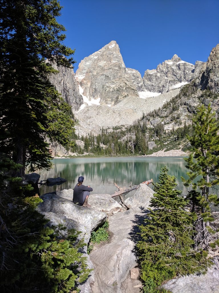
Spending time at Delta Lake
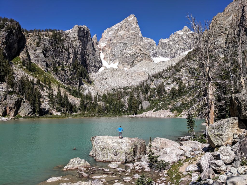
You can head either direction to take in the views, but the best are to the right (counter-clockwise when you get to the lake’s edge). You may need to cross over some logs to get to the best angle. This is a great spot to refill your water bottles with a filter.
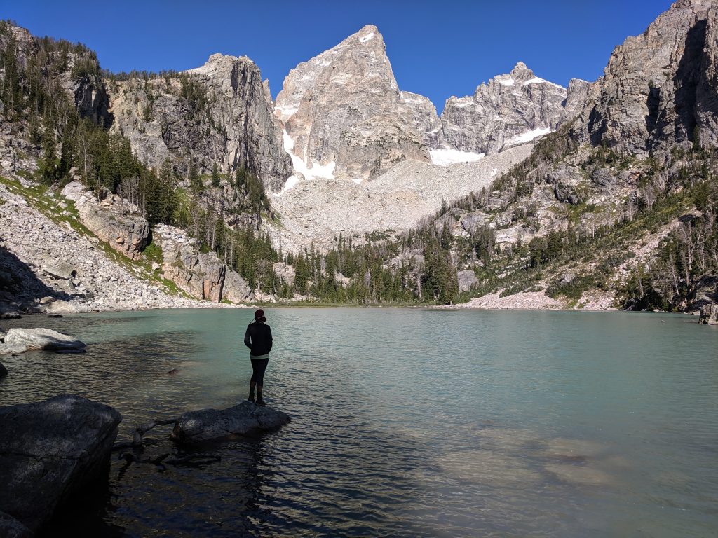
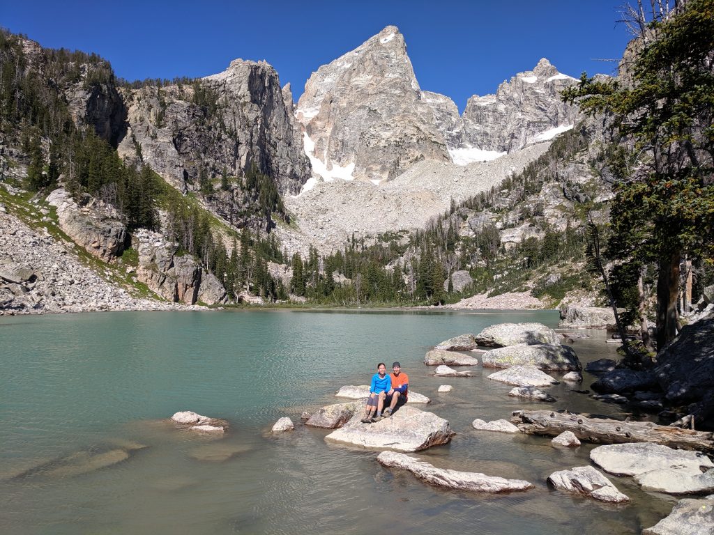
There are lots of rocks on which to take a picture or relax and simply take in the scenery. However, you probably won’t be alone and might have to wait for a shot with no one else in it (or get creative). As mentioned, there were only 2 other couples there when we arrived but there close to 30 people when we left.
Additional info
We hike at a pretty good pace and it took us 1 hour 45 mins to get to the lake. We spent an hour there and got back down to our car in about 1 hour 20 minutes. Had a few surprises on the descent:
We had one day to do a hike in Grand Teton National Park with no kids (thank you mom). We considered the Paintbrush-Cascade Canyon Loop but are very glad we chose to do Delta Lake.
Have you ever hiked to Delta Lake, or have a question? Please leave a comment or question below!

Leave a reply