If you take away nothing else from this page: please follow the 7 principles of Leave No Trace whenever hiking (and all the time, actually – most are pretty good general life tips, too):
- Plan ahead and prepare
- Travel and camp on durable surfaces
- Dispose of waste properly
- Leave what you find
- Minimize campfire impacts
- Respect wildlife
- Be considerate of other visitors
Now, on to Sky Pond. Here are the quick facts:
- Where: Rocky Mountain National Park, Colorado
- More specifically, where: start at the Glacier Gorge Junction Trailhead (can also start at Bear Lake, +0.2 miles each way)
- Distance and elevation: 9.5 miles (15 km) out-and-back with ~1,800 feet (550 meters) of elevation gain
- Highest point: almost 11,000 feet, so take caution
- Why you should hike this trail: varied trail with multiple stunning lakes and waterfalls, and the final payoff of the sharkstooth
- Fee or permit? Yes – National Park fee or pass plus timed entry reservation
- Best time of year: June – September but there could be snow in June and September
- Tip: you have to climb up a waterfall, which can be challenging (especially with snow/ice)
- Tip: don’t turn around at the Lake of Glass!
Map tips: each marker is a point of interest along the hike. Click a marker to learn more about the spot, and click the star in the map header to save the entire map under Your Places in Google Maps.
The details
Get there early. If you don’t get a spot at the Glacier Gorge Trailhead, go to the Bear Lake parking lot. If that’s full, too, or if you want to plan on taking the shuttle from the start, check the times and stops here.
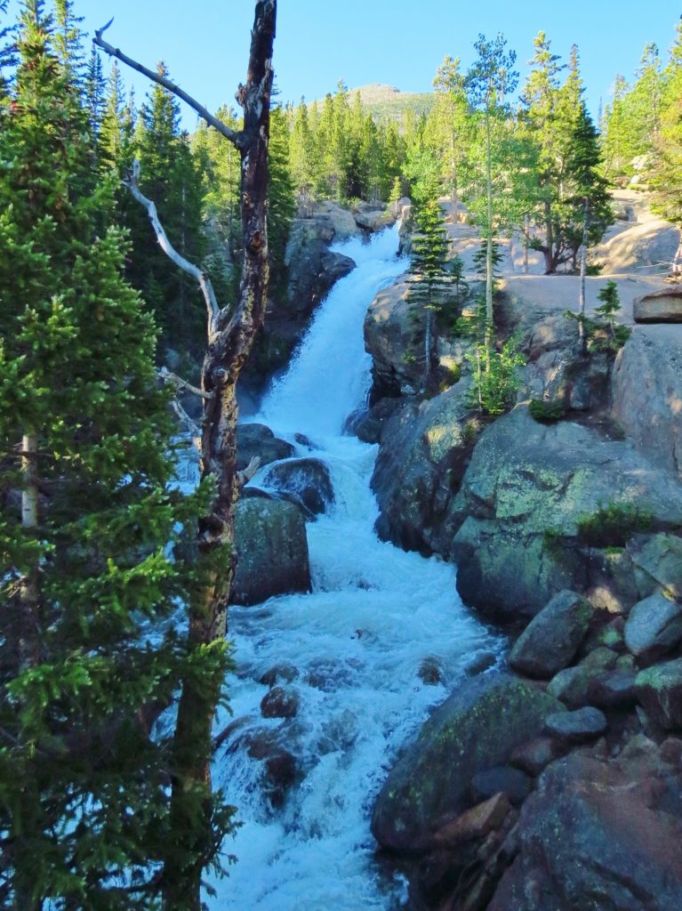
Whether you start from Glacier Gorge (ideal) or Bear Lake, you’ll come to a junction in the trail at less than 0.5 miles. Follow the signs to Alberta Falls and Sky Pond. After less than a mile from either trailhead, you’ll hear Alberta Falls before you see it. This is such a nice bonus to the Sky Pond hike.
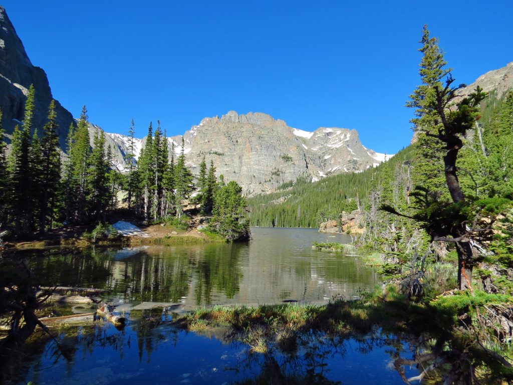
After almost another 2 miles you’ll come to The Loch. What is a loch? Simple: a lake, in Scottish. The Loch, or Loch Vale, is the first of 3 picturesque lakes on this hike. It’s a beautiful lake; it’s just unfortunate for Loch Vale that hikers will most likely find the other 2 lakes more beautiful.
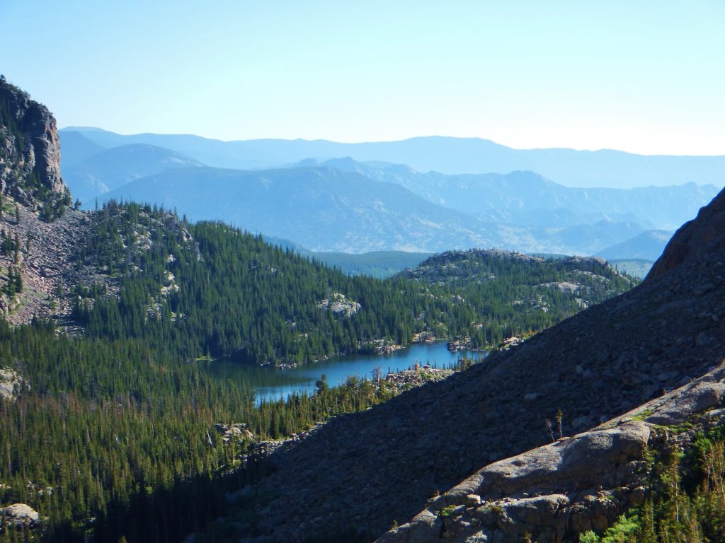
There are some great views in this next stretch – they’ll be in front of you on the way back down but it’s worth turning around every once in a while.
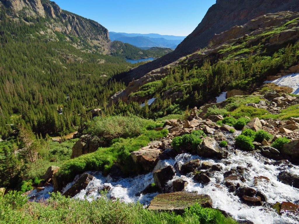
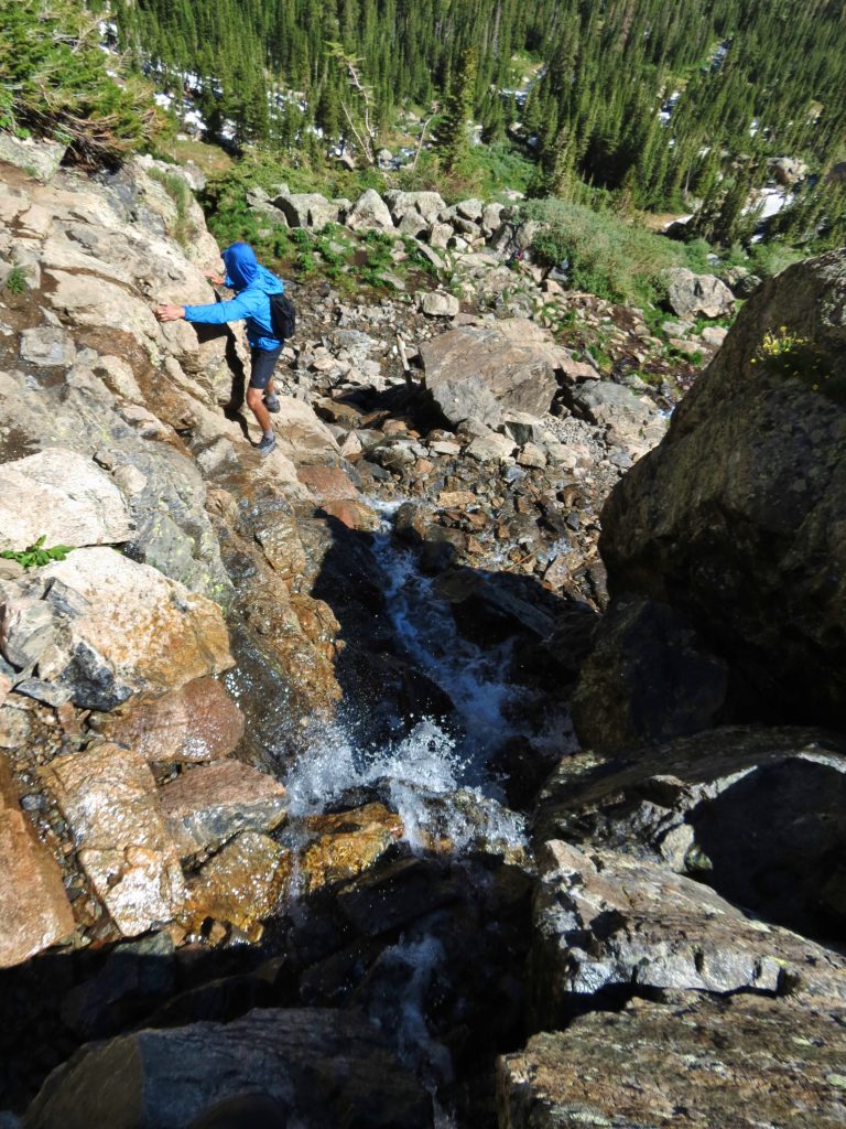
Eventually you’ll come to the trickiest/sketchiest part of the hike: Timberline Falls. It’s about 4 miles from the trailhead, or about 1.25 miles past The Loch. You’ll have to hike up the waterfall, literally, so be careful and choose your steps wisely. This can get very dangerous and impassable depending on the conditions – it’s best to ask a Ranger if you think it might be dicey.
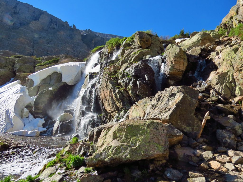
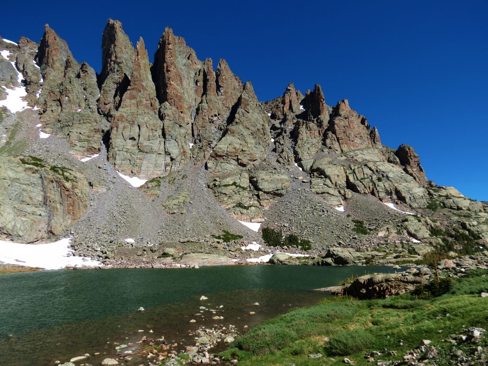
Shortly after scaling the waterfall (~0.25 miles) you’ll come to the Lake of Glass. We’ve read that a decent amount of people stop and turn around here, thinking it’s Sky Pond because it’s so pretty. Don’t make that mistake – you know you’re on this hike to see the sharkstooth formation and it is not viewable at this lake.
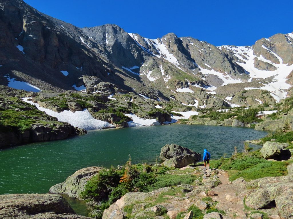
Head around the right side of the Lake of Glass and in just under 0.5 miles you’ll finally make it to Sky Pond.
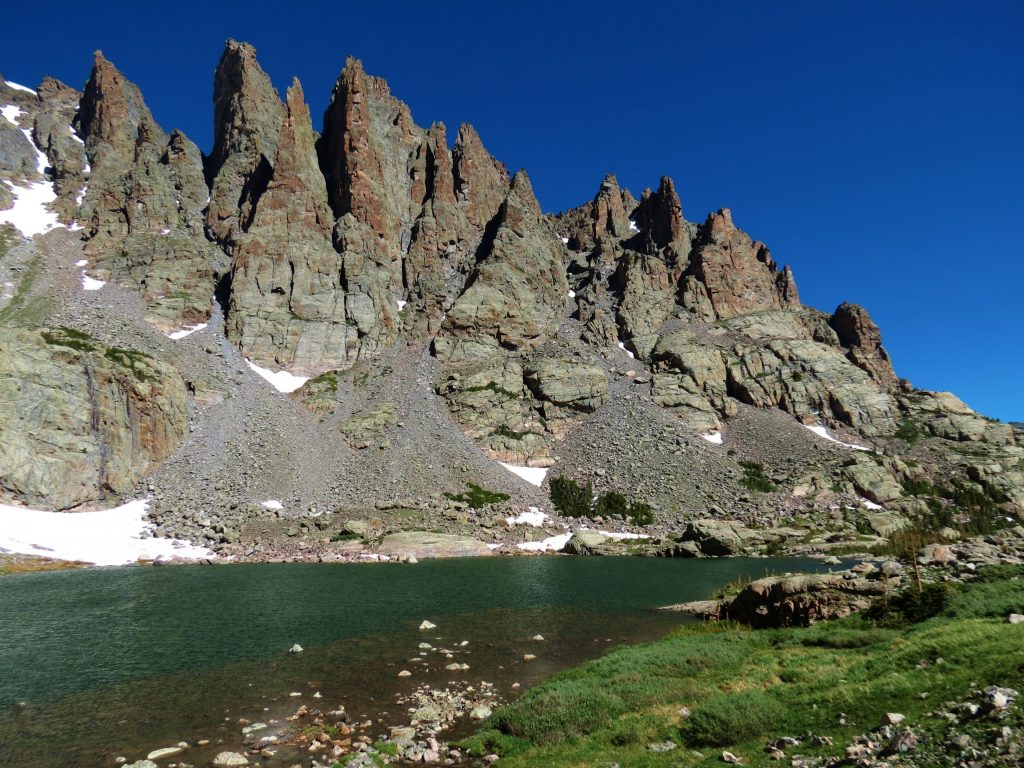
Make sure to go clockwise around the lake to see if you can fit the whole lake and the sharkstooth in a photo – I didn’t go far enough and regret it every time I’m reminded of it (like when writing this guide).
It’s the same route back to your starting point – make sure to take care again when descending Timberline Falls.
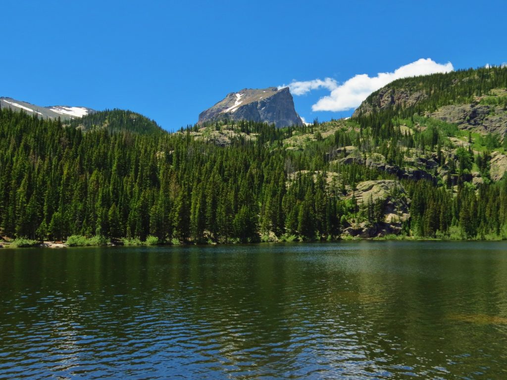
Lastly, if you parked at Bear Lake, you could save yourself a short but uphill walk by picking up the free shuttle at Glacier Gorge (just make sure Bear Lake is the next stop and it’s not heading back down). I had never been to Bear Lake, so it actually turned out great that we ended up parking there. The lake is only 250 feet from the parking lot so there’s no reason to not check it out.

Leave a reply