Map tips: click a marker to learn more about the spot, and click the star in the map header to save the entire map under Your Places in Google Maps.
- Heritage Eats
- Blue Ridge Trailhead
- Glory Hole
- Oxbow Public Market
- Celadon Restaurant
Flew in to SFO, drove to hotel in Napa (about an hour and a half outside of rush hour). Arrived around 12:30, grabbed lunch at Heritage Eats – amazing, had to eat there again the next day before heading out of the area. Drove about 50 minutes to the Blue Ridge Trailhead by Lake Berryessa (on Google Maps, park at the location for UC Davis – Stebbins Cold Canyon Natural Reserve). The hike is about 5 miles round-trip and took us 3 hours with plenty of stops for pictures. Beautiful views along the ridge.
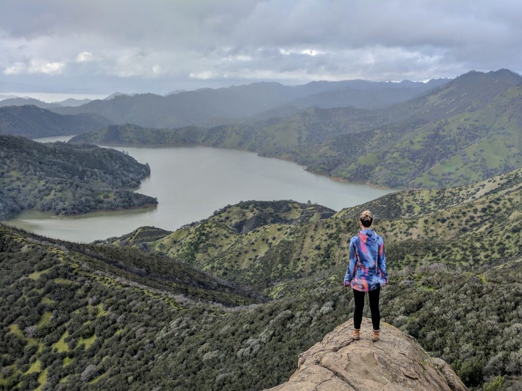
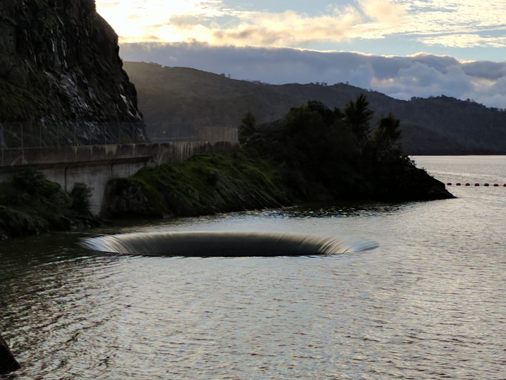
Not a difficult hike but recent rain made it very slick. You have to go through a tunnel with running water at first and you’ll see signs that the trail is closed if the water is high. You also have to cross the river a couple times so be smart. The trailhead is just past the Monticello Dam, and there’s a spillway called the Glory Hole, which looked awesome when the water level was high. Pictures I saw before we went showed the water level below the top, and that’s what I expected, but as you’ll see in the pictures it was a pleasant surprise to see the water spilling over. You have to park and walk over to the fence to see it.
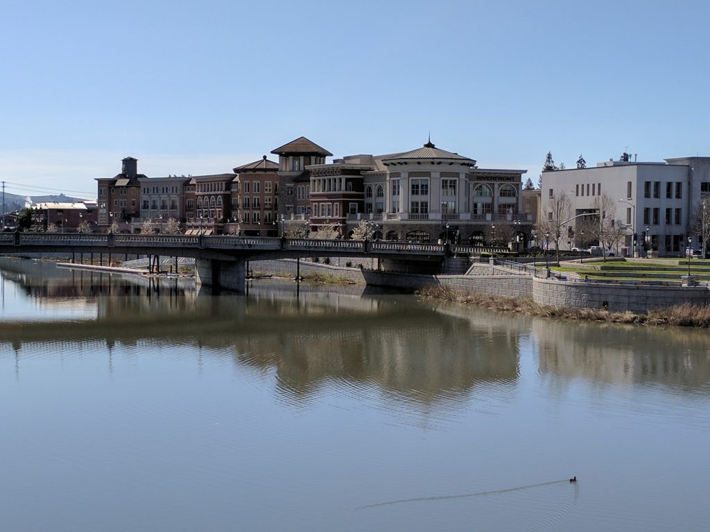
Drove back to Napa, walked around downtown. Oxbow Public Market is a cool place with restaurants and shops in a true “market” setting. Have a draft beer, wine or coffee and do some shopping at the stands. Had dinner at Celadon – decent food but would want to try other places if I go back to Napa again.
I was here for work so there wasn’t a ton of time in Napa but if there’s one thing I would like to do anywhere I go, it’s hike. Not a big wine drinker so it was an easy choice to do that instead of visit a winery.
Traveled in March 2017


Leave a reply